
£4
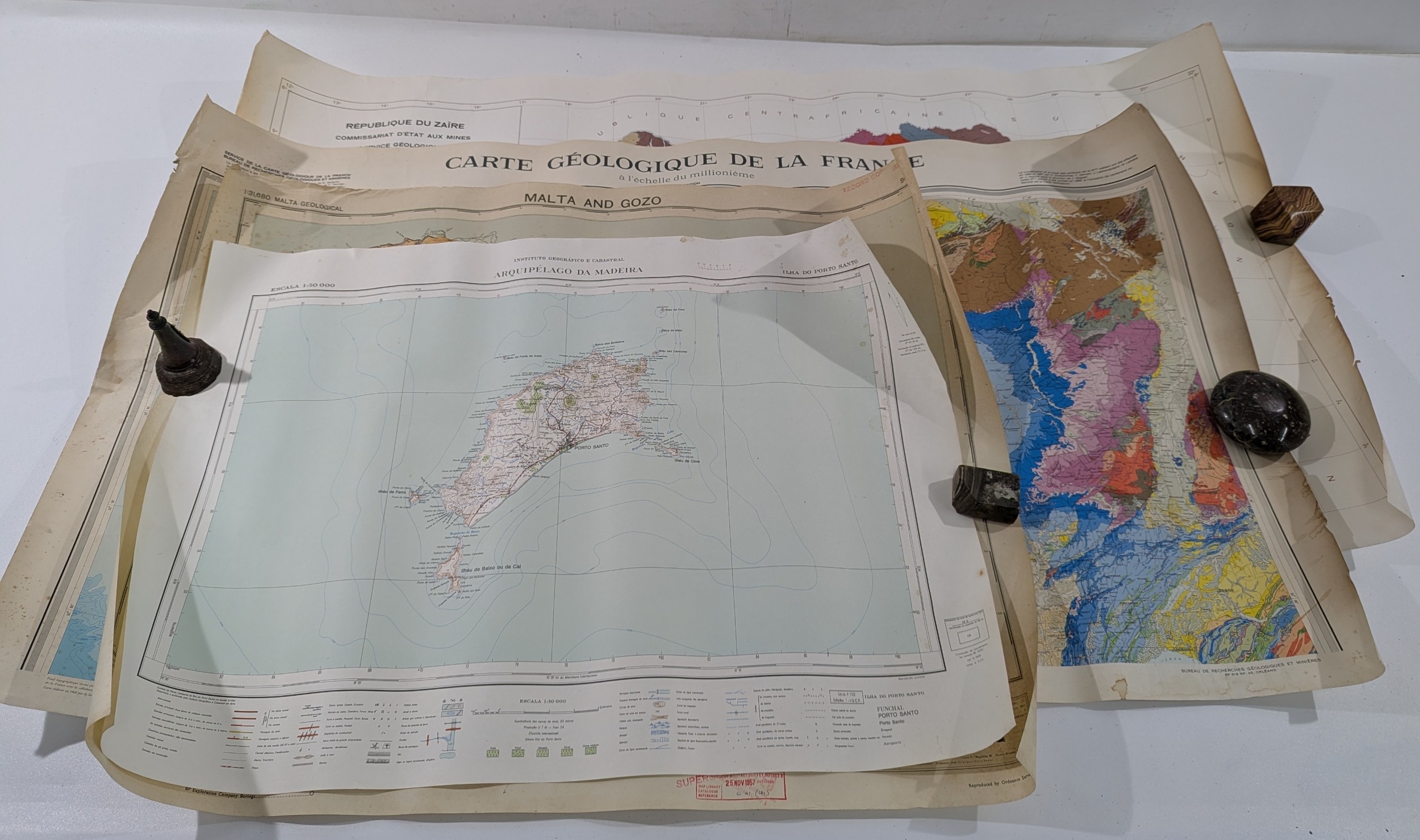
Collection of Mid–Late 20th Century Geological Maps
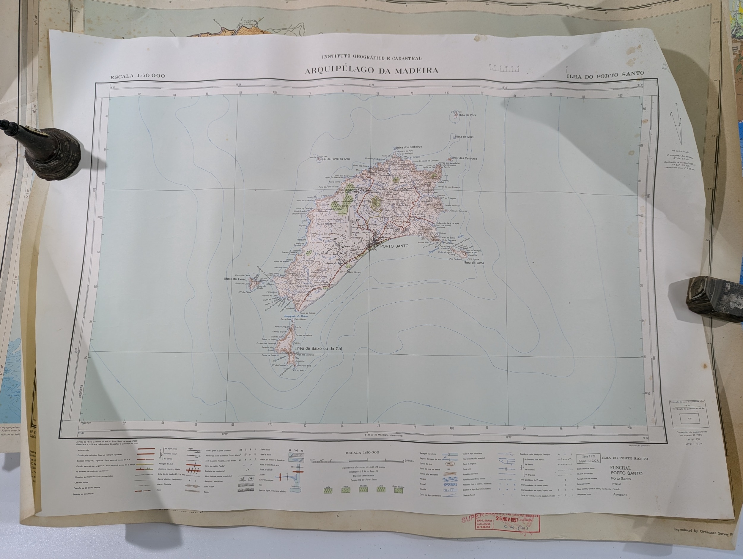
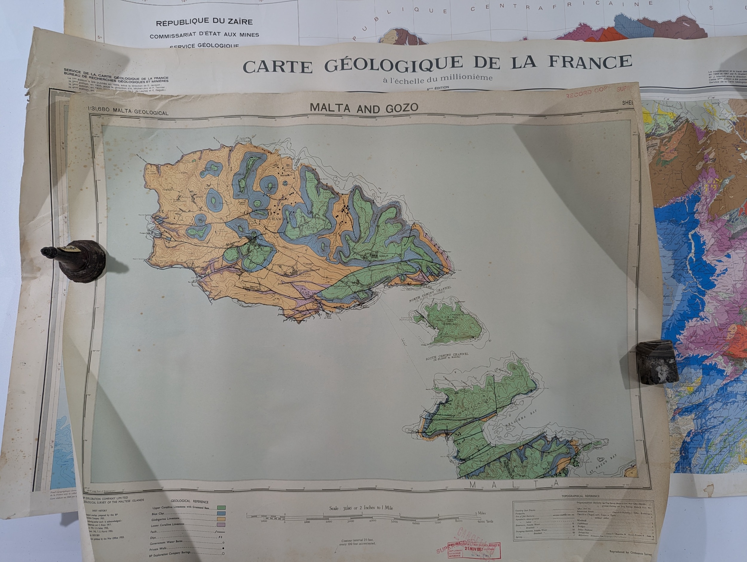
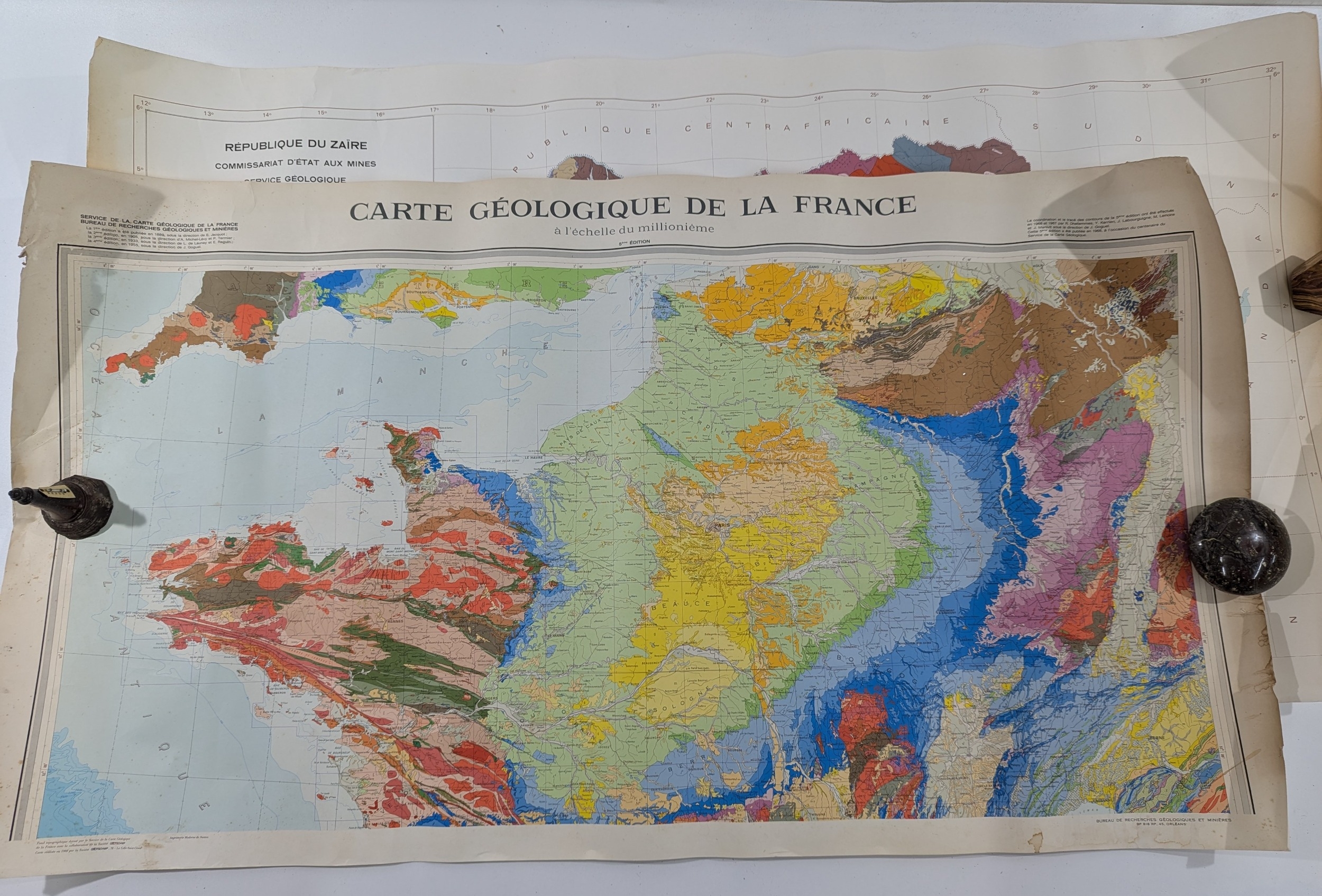
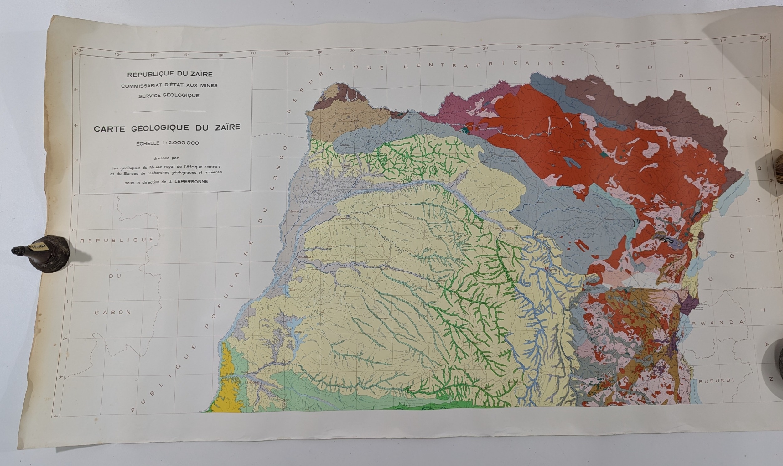
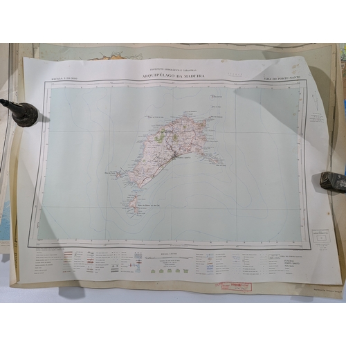
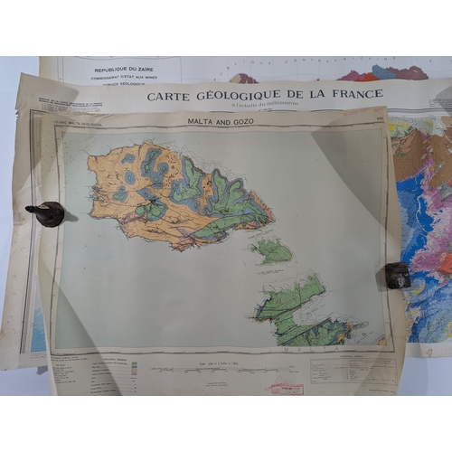
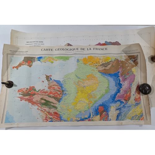
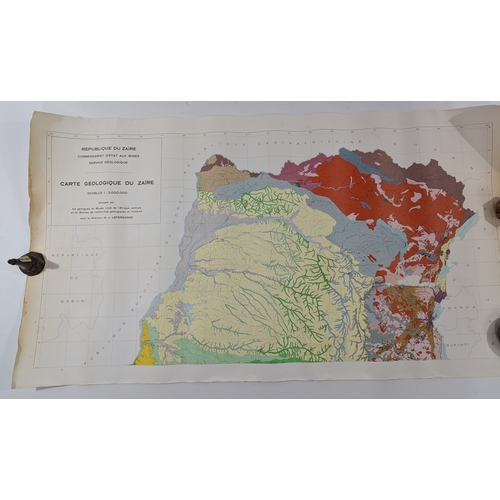
A group of mid–late 20th century printed geological maps, including Carte Géologique de la France (millionième), Malta & Gozo Geological Survey sheet, República do Zaïre – Carte Géologique (Échelle 1:2,000,000), and Instituto Geográfico – Arquipélago da Madeira: Ilha do Porto Santo (Escala 1:50,000), together with other large-format colour lithographed or offset survey sheets. Various issuing bodies, including French, Portuguese and African geological institutes.
Condition: Mixed; all maps showing folds, edge tears, handling creases, some toning, foxing and staining, occasional library or archive ink stamps, and localised losses at margins. Suitable for reference or display.
Fees apply to the hammer price:
Room and Absentee Bids:
30% inc VAT*
Online and Autobids:
33.6% inc VAT*
33.6% inc VAT*
*These fees include buyers premiums and internet surcharges. Other fees may apply.